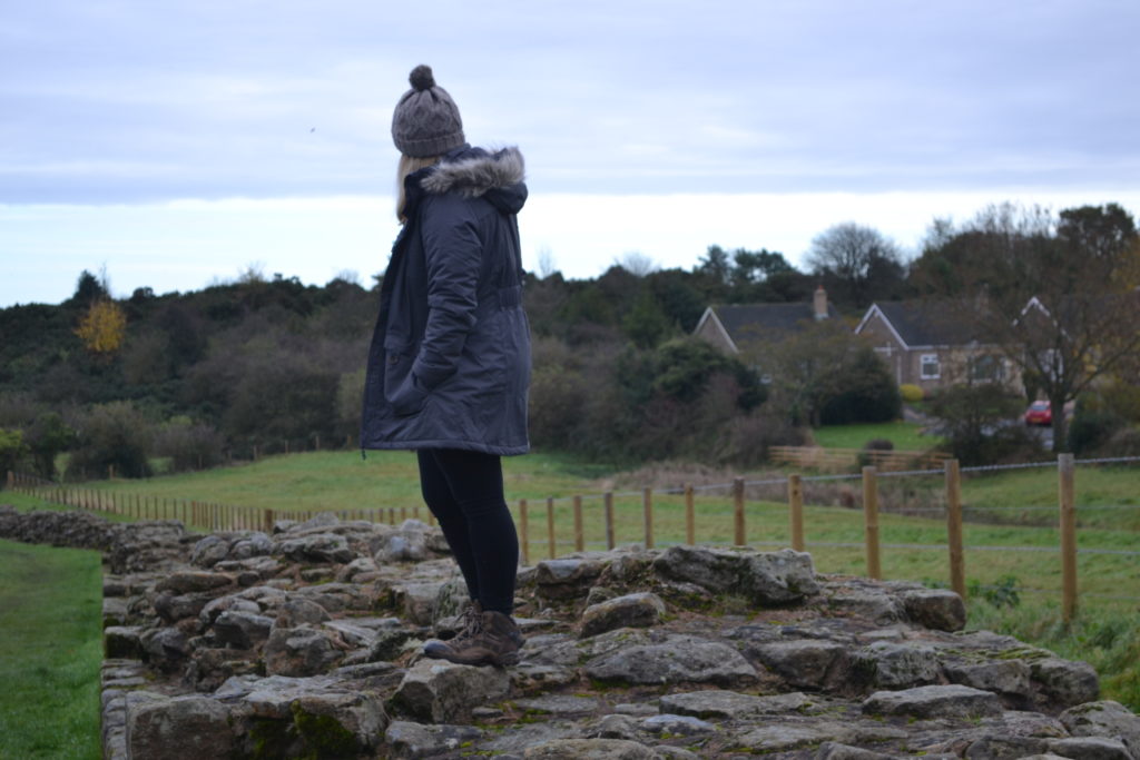
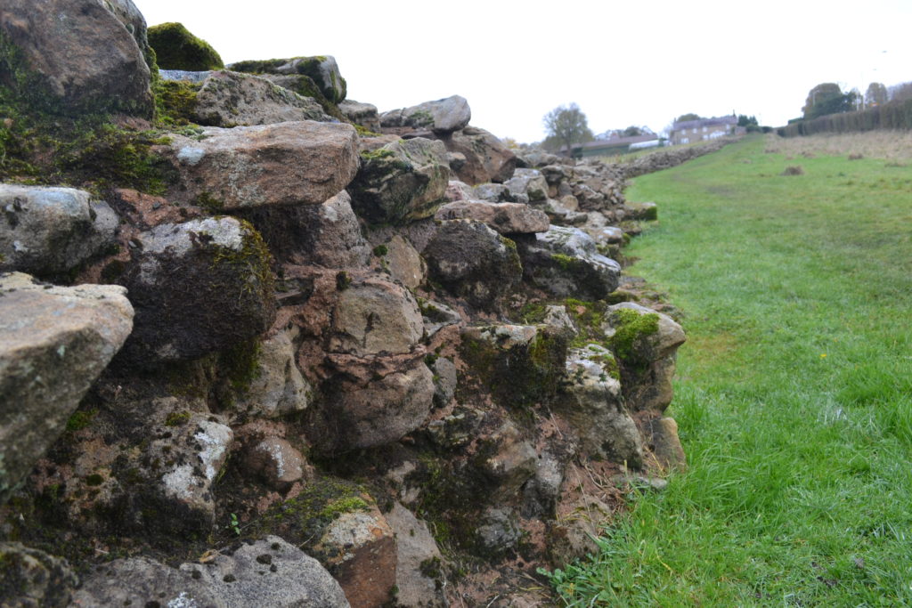
If you didn’t know already, or you are a reader outside of the UK; Hadrian’s Wall, also called the Roman Wall, was a defensive fortification in the Roman province of Britannia, begun in 122 AD in the reign of the emperor Hadrian. The wall runs from the banks of the River Tyne near the North Sea to the Solway Firth on the Irish Sea, stretching from sea to sea. It also marked the northern limit of the Roman Empire, immediately north of which were the lands of the northern Ancient Britons. It was built quite simply to separate to two civilisations and keep each other out of their land.
Hadrian’s Wall was declared a World Heritage Site in 1987, and in 2005 it became part of the transnational “Frontiers of the Roman Empire” World Heritage Site which also includes sites in Germany. It had always been somewhere I wanted to visit, especially after seeing Kara from Heels in my Backpack visit at the beginning of the year, so when me and T decided to head up to Newcastle we knew it would be included in our whistle stop tour of the north.
We headed out to the wall from Newcastle and found ourselves immediately within the countryside. There are many reasons why people come to Hadrian’s Wall and there are also many ways to explore it. Some just want to see where it is and what it looks like, whereas others come to discover as much as they possibly can about it. We only have half a day so decided to find an easy route we could walk in a few hours before jumping back in the car and heading back down south.
Initially we came across Heddon-on-the-Wall only 15 minutes outside of Newcastle where some of the largest continuous chunk of wall still lies today down a small path from the roadside (find the location here). We then headed off back in the car to Corbridge where we found a place to park the car up. The route we decided to do was 6 miles from Corbridge and Aydon Castle and luckily the route was a circular walk so we ended back with the car after the six miles was done. The route rook 4-5 hours to complete.
DIRECTIONS
- Head across the river into Princes Street, which becomes Aydon Road.
- Turn left by large gates (Riversdale) and immediately right into Deadridge Lane, signed bridleway to Aydon Castle,1 1/2 miles.
- At the lane end bear right (east) alongside the A69, crossing it at road bridge. Immediately follow the sign for Aydon Castle, follow path west along A69.
- After approximately 1/2 mile turn right, then follow waymarks across fields through a gate into woodland, the path rising steeply to Aydon Castle.
- After your visit turn right out of castle and follow the road. At car park continue ahead ignoring the road on your right. Stay on this road ignoring other minor roads that join from the right.
- After approximately 2 miles turn first left and carry straight on down Leazes Lane towards Corbridge, crossing the footbridge next to the ford, going under the A69 to visit pottery kilns on your right. Re-joining Aydon Road continue back into Corbridge
HIGHLIGHTS
- Ancient town of Corbridge
- Medieval Aydon Castle (English Heritage)
- Corbridge Roman Town and Museum (Corstopitum) (English Heritage)
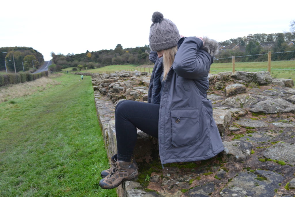
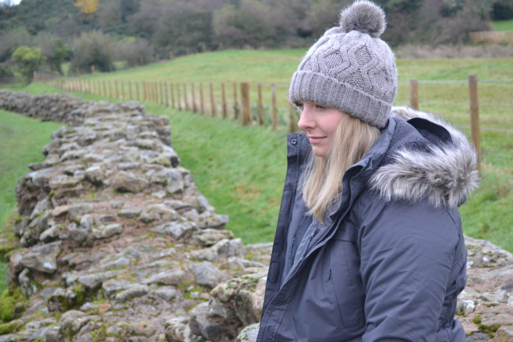
WHAT TO WEAR
Bring on the cold!
Information on walk was taken from the Hadrian’s Wall Country website.
Follow me on
Twitter | Instagram | YouTube | BlogLovin | Pinterest | Facebook

